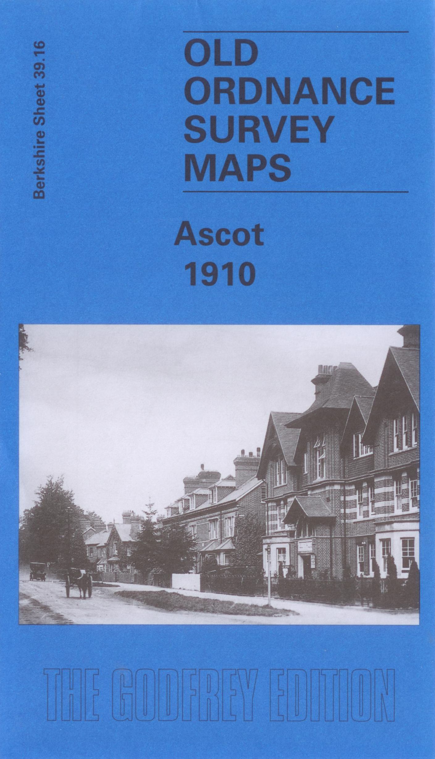
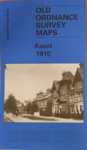
Ascot, Old Ordnance Survey Map, 1910
£3.50
This map is part of a series of town maps with a scale of about 15 inches to the mile. They show not just the streets but virtually every house, track layouts of railways and tramways, factories, mills and docks.
We regret we are unable to ship physical goods to the USA due to the current tariff situation. However, you can order data downloads.
Description
This map is part of a series of town maps with a scale of about 15 inches to the mile. They show not just the streets but virtually every house, track layouts of railways and tramways, factories, mills and docks. ISBN: 1 84151 770 4 Edition: 2005
Additional information
| Weight | 150 g |
|---|---|
| Dimensions | 120 × 210 cm |